Donate to Our Spring Campaign or Bid on our Spring Auction to Support Forecasting

Forecast for the Ogden Area Mountains

Drew Hardesty
Issued by Drew Hardesty on
Tuesday morning, March 7, 2023
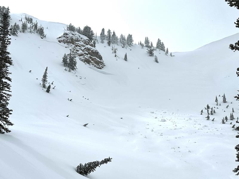
A MODERATE avalanche danger exists on all aspects and elevations. Human triggered avalanches remain possible in the lingering new snow from the weekend. These can be big enough to bury and kill a person.
Evaluate snow and terrain carefully.
Low
Moderate
Considerable
High
Extreme
Learn how to read the forecast here
Special Announcements
To help you safely enjoy the backcountry, the UAC team is constantly evaluating and implementing new programs and technologies. Donate to the Spring Campaign to help our team implement innovative tools and better provide you with the information you rely on.
Thank You!
Weather and Snow
The moon glows the same
It is the drifting cloud forms
make it seem to change.
--- Matsuo Bashō (1644-1694)

Under the full moon, we have mostly cloudy skies.
Mountain temperatures are in the teens. Winds, again mercifully, are light from the west. The mountains squeezed another trace to 2" overnight.
For today, we'll see intermittent snow showers with narrow windows of filtered sun. Hopefully very narrow. Temperatures will be in the low 20s. Winds will be light from the west-southwest.
We'll see another burst of snowfall Wednesday (perhaps 2-5") with Thursday providing something of a day of rest. We'll need it, for Friday ushers in a well advertised wet, warm, and windy atmospheric river event from the west/southwest. The view from here is 10-18" of heavy dense snow with an initial rain/snow line as high as 8000', possibly higher.
Recent Avalanches
Observer Michael Davis was riding up near Bountiful Peak yesterday and noted some natural cornice fall that subsequently triggered some fresh soft slabs of wind drifted snow below (pic). Joe Keeler was able to intentionally trigger a cornice and soft slab below the day before near Ben Lomond. Otherwise, we didn't hear of anything in the backcountry. Having said that, avalanches have been triggered in the central Wasatch 1-3' deep on a suncrust from Thursday. Even though other observers are finding stable snow, keep this in mind.
Ad
Avalanche Problem #1
New Snow
Type
Location
Likelihood
Size
Description
You will be able to trigger new snow avalanches big enough to kill you in steep terrain today.
Both soft slab avalanches and loose snow sluffs are possible on a variety of aspects and elevations.
I would approach any steep terrain with caution today. Note as well that this season, the CORNICES are ENORMOUS. Give these yawning waves a very wide berth along the ridgelines.
Note that avalanches some avalanches may release well off the ridgelines and not in usual starting zones.
In your decision making today, ask yourself and your partners, "Is this slope safe?" and Why...
Additional Information
General Announcements
This information does not apply to developed ski areas or highways where avalanche control is normally done. This forecast is from the U.S.D.A. Forest Service, which is solely responsible for its content. This forecast describes general avalanche conditions and local variations always occur.