Donate to Our Spring Campaign or Bid on our Spring Auction to Support Forecasting

Forecast for the Ogden Area Mountains

Drew Hardesty
Issued by Drew Hardesty on
Thursday morning, February 9, 2023
Areas of MODERATE avalanche danger exist on many aspects of the mid and upper elevations.
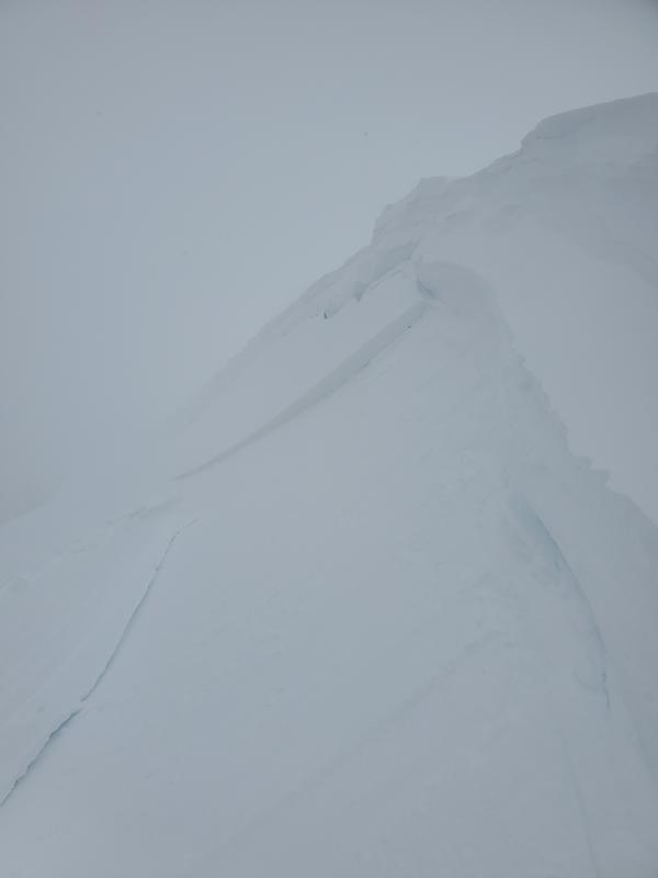
You may be able to trigger a soft or hard slab of wind drifted snow in or adjacent to steep terrain today. Heightened avalanche conditions exist on specific terrain features. Anticipate slide-for-life conditions on some steep bullet-proof crusts on sunny aspects this morning.
Low
Moderate
Considerable
High
Extreme
Learn how to read the forecast here
Weather and Snow
To borrow from Masahide (1657–1723)
~
Barn's blown over,
now
I can see the moon.

Skies are clear. Mountain temperatures are in the upper single digits and low teens.
Slide-for-life conditions may exist on the steep sunny aspects this morning with wind damage now the rule not the exception on the northerly slopes.
Yesterday's cold front brought strong westerly winds, a steep drop in temps and a trace to an inch of graupel, pellet-like snow.

For today, we'll have sunny skies, light northerly winds, and temperatures rising to the upper teens and low 20s by the afternoon. Mostly sunny skies with occasional garbage clouds forecast for the weekend as a cut-off Low dives well to the south. Mountain temps will be reasonable but the cut-off Low will have some influence on our wind. The next storm arrives Tuesday.
Recent Avalanches
A few shallow loose new snow avalanches noted. Further to the north in Logan Dry canyon, observers triggered fresh soft slabs of wind drifted snow (photo below)

See the full list of avalanche activity where you can filter avalanches by region and date.
Ad
Avalanche Problem #1
Wind Drifted Snow
Type
Location
Likelihood
Size
Description
Be on the lookout for localized soft and hard slabs of wind drifted snow scattered across the landscape. Daniel Turner skiied up above the North Ogden Divide yesterday and noted a window of strong winds and extensive wind transported snow. He also found a mostly stable snowpack but with some distinct weaknesses within the upper layers. His extensive report is HERE>. Also of note was a sheet of surface hoar on the snow surfaces that - provided it hasn't been completely destroyed by the wind - will make for tricky avalanche conditions in some areas. This should be investigated further if you're touring in the more protected terrain.
Additional Information
Check out the updated guidance on electronic interference and beacons HERE. The 20/50 rule is that you want your beacon 20cm (8") away from other electronics while transmitting and 50cm (20") away from electronics while searching.
General Announcements
This information does not apply to developed ski areas or highways where avalanche control is normally done. This forecast is from the U.S.D.A. Forest Service, which is solely responsible for its content. This forecast describes general avalanche conditions and local variations always occur.