Observation Date
3/13/2025
Observer Name
Gagne
Region
Salt Lake » Big Cottonwood Canyon » 10420
Location Name or Route
10,420'
Comments
Today's field plan focused on evaluating
1. the sensitivity of fresh wind drifts;
2. how well the new snow had bonded to the old snow surface;
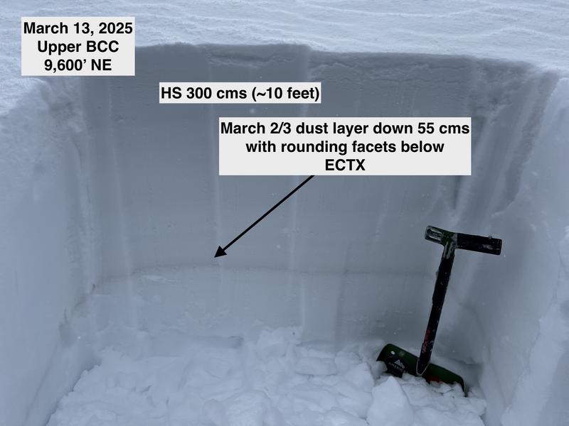
3. the facets underneath the March 2/3 dust layer.
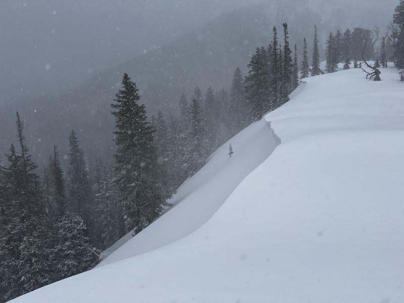
I was finding pockets of fresh wind drifts 20-30 cms thick, and did get some minor cracking, but for the most part the wind drifts were unreactive or at most would onlycrack out a few feet from my skis. Cornices were sensitive, but were not large.
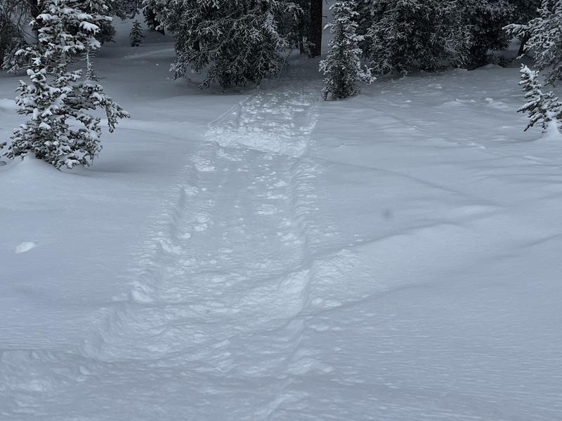
I did get some sluffing in the denser new snow that ran on the interface of the old snow surface on northerly aspects, so this indicates the old snow surface could act as a weak layer with any additional snow and wind loading.
The March 2/3 dust layer is still evident, but my pit scores the past seven days have all been ECTN with poor quality shears, or ECTX, so this is a sign this layer continues to gain strength. I'm becoming much less concerned about this PWL and still focus on thinner snowpack areas, especially those that have avalanched this season.
Overall, today's danger was Moderate as there wasn't much new snow to affect and the new snow and fresh wind drifts were mostly unreactive to stability tests. With more snow overnight, storm slabs could run on
- density inversions within the storm snow;
- the old snow surface, which on northerly aspects is dry and has a little faceting, or all other aspects is a sun or temperature crust.
Photos:
- Wind drifting
- Pit on northerly aspect showing the March 2/3 dust layer
- Sluffing in the new snow


Today's Observed Danger Rating
Moderate
Tomorrows Estimated Danger Rating
Considerable
Coordinates


