Current Conditions: The wind has dramatically slowed overnight and temperatures have rebounded to around 20˚F. The recent storm left about a foot of new low density snow. The wind stirred things up pretty good and you'll find a variety of crusts and stiff drifts in exposed terrain. In sheltered terrain the new snow remains very low density powder.
Mountain Weather: We have a couple of nice days in store with mostly clear skies, high temperatures in the mid 20s, and light to moderate speed southwest wind. Another quick hitting storm will move in Thursday night into Friday which looks like it might bring around another 6" of snow. More storms are lined up starting Sunday.
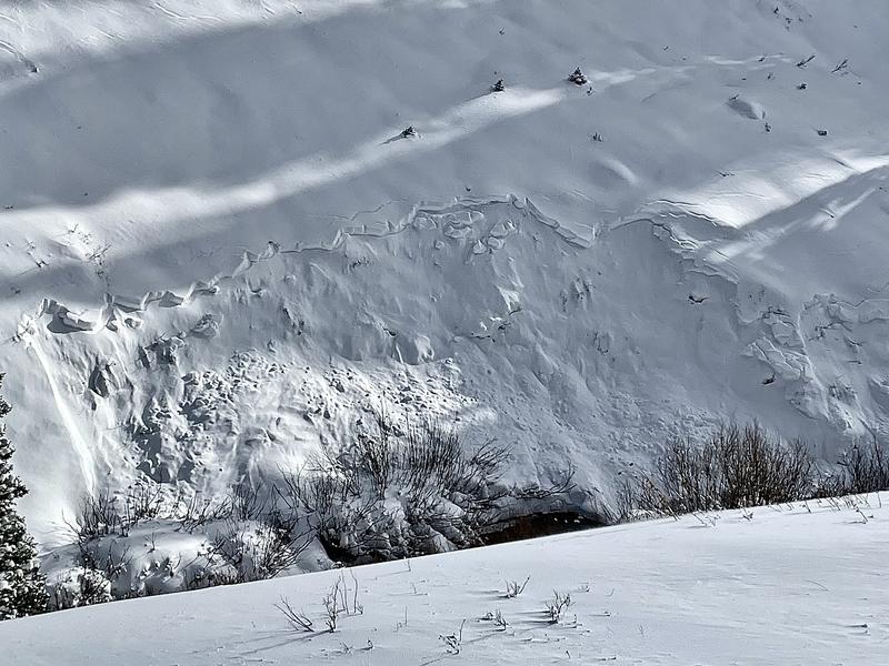
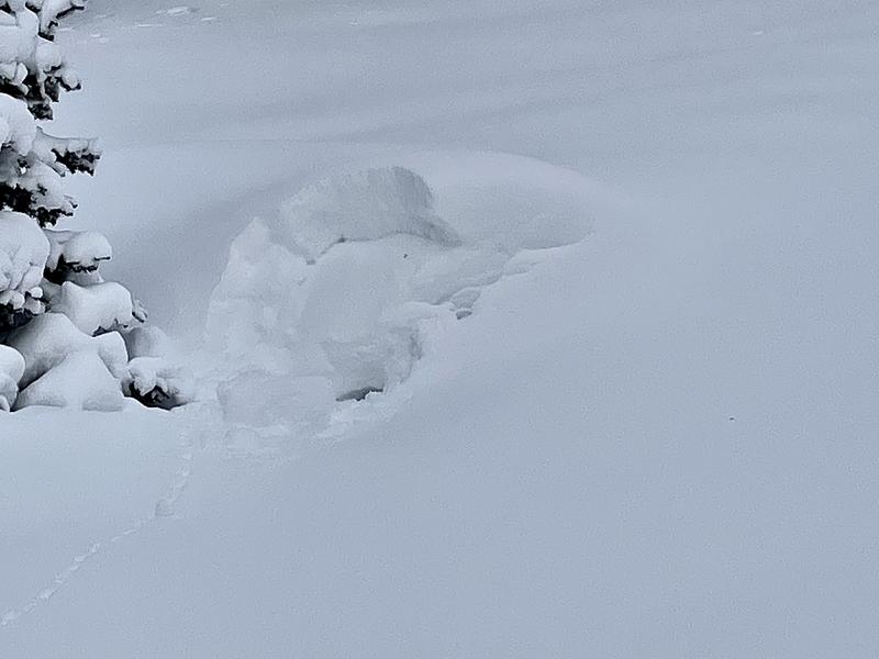
During fieldwork on Tuesday, my partner and I found lots of scattered very small natural avalanches that broke into a Persistent Weak Layer of faceted snow.
MORE PHOTOS AND DETAILS HEREWe were able to get slopes to crack out and triggered some very small pockets that also broke into the weak layer. All of the avalanches we saw or triggered were very small and the snow was soft. They aren't all that dangerous except they might boss you around and push you into rocks, stumps or trees if you're caught.