Avalanche Warning
AN AVALANCHE WARNING HAS BEEN ISSUED FOR THE MOUNTAINS OF MUCH OF THE STATE OF UTAH, INCLUDING THE WASATCH RANGE...BEAR RIVER RANGE...UINTA MOUNTAINS...THE MANTI-SKYLINE ...THE FISH LAKE REGION…PAHVANTS…TUSHARS…AND THE CEDAR CITY AREA MOUNTAINS.
THE AVALANCHE DANGER IS HIGH FOR THE WARNING AREA AND TRAVEL IN AVALANCHE TERRAIN IS NOT RECOMMENDED.
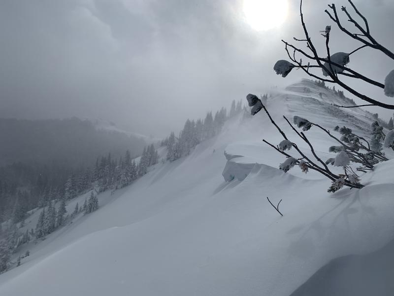
HEAVY SNOWFALL AND STRONG WINDS HAVE CREATED VERY DANGEROUS AVALANCHE CONDITIONS. BEING CAUGHT IN ANY AVALANCHE IS LIKELY TO BE UNSURVIVABLE. STAY OFF OF AND OUT FROM UNDER SLOPES STEEPER THAN 30 DEGREES.
Thursday featured very strong west/southwest winds and heavy snowfall began in the early evening hours. As of 5 am, 24-hour snowfall totals are 8-16" containing 1 - 1.8" of water. This is a rapid loading event!
Temperatures range throughout the teens and winds are from the west/southwest and have diminished. At the mid elevations, wind speeds are averaging around 10 mph with gusts in the 20's. Along the upper-most ridges winds are averaging in the teens and 20's with gusts in the low 30's mph.
For today, temperatures will stay stuck in the teens with another 2-4" of snowfall. Winds will be from the west/northwest. At mid elevations winds will average in the low teens with gusts in the 20's mph. At the highest ridges, gusts may reach the low 30's mph.
Snowfall may pick up again overnight and into Saturday morning, followed with the coldest temperatures thus far of this winter season.
Although centric to the Salt Lake mountains, our
Week in Review - where we highlight significant snow and weather from the past week -
is now available.
There was a likely a natural avalanche cycle during the overnight hours during periods of heavy precipitation.
Further to the south in the mountains near Park City and Salt Lake ....
On Thursday, a
natural avalanche was reported near Pointy Peak along the Park City ridgeline. The avalanche from Thursday that caught my attention was a
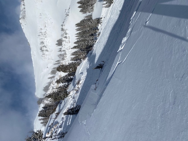
natural avalanche in Butler Basin (photo below) that likely occurred sometime early Thursday morning. This was on a northeast aspect at 9,300' and was up to 4' deep and an estimated 400-500' wide. It is possible strong winds on Thursday morning overloaded this slope.


