Donate to Our Spring Campaign or Bid on our Spring Auction to Support Forecasting

Forecast for the Ogden Area Mountains

Greg Gagne
Issued by Greg Gagne on
Monday morning, January 24, 2022
The avalanche danger is Low on all aspects and elevations. You may encounter isolated pockets of fresh wind-drifted snow in exposed terrain at the mid and upper elevations or long-running sluffs of dry snow on steep northerly aspects.
Low
Moderate
Considerable
High
Extreme
Learn how to read the forecast here
Special Announcements
Thanks to the generous support of our local resorts and Ski Utah, discount lift tickets are now available. Support the UAC while you ski at the resorts this season. Tickets are available here.
Weather and Snow
Currently: Skies are clear and temperatures range through the 20's F. West winds increased overnight with gusts in the teens and 20's mph at the mid elevations. At the upper elevations, winds are stronger, averaging in the 20's with gusts in the upper 30's mph.
For today, sunny skies with temperatures in the 20's. The west winds will average in the teens with gusts in the 20's and low 30's at the mid elevations, with gusts in the 30's and 40's along exposed ridges at the upper elevations.
Overnight we may squeeze out an inch or two of snow as a mostly-dry cold front crosses the region Tuesday morning.
Recent Avalanches
No backcountry avalanches were reported. We received a few observations from the backcountry on Sunday:
- Lewis Peak
- Another from Lewis Peak
- Rodeo Ridge on Ben Lomond
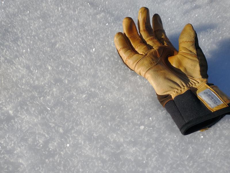
A common theme from these observations is the few inches of snow at the surface has weakened and turned to facets and surface hoar (photo Jonathan Melton). The weak snow at the surface is currently providing soft travel and riding conditions, but it may be a weak layer with any future storms.
Ad
Avalanche Problem #1
Normal Caution
Type
Location
Likelihood
Size
Description
In isolated areas you may find:
- Pockets of fresh wind drifted snow along exposed ridges at the mid and upper elevations. Although drifts will be shallow (up to 6") and not very wide, wind drifts may be sensitive if they have formed on top of weaker snow underneath.
- Fast and long-running sluffing of dry snow on steep northerly aspects. Although these sluffs won't entrain much snow, getting caught in one could be serious in consequential terrain.
Evaluate each slope and look for any signs of instability such as cracking in fresh wind drifts or long-running sluffs in steep terrain.
General Announcements
Who's up for some free avalanche training? Get a refresher, become better prepared for an upcoming avalanche class, or just boost your skills. Go to https://learn.kbyg.org/ and scroll down to Step 2 for a series of interactive online avalanche courses produced by the UAC.
This information does not apply to developed ski areas or highways where avalanche control is normally done. This forecast is from the U.S.D.A. Forest Service, which is solely responsible for its content. This forecast describes general avalanche conditions and local variations always occur.